By John Leonhart and Trenton Culp, Ahtna land department

The Ahtna Land Department and its employees conduct a variety of forestry and wildlife projects across the Ahtna Region’s landscape. For example, the Carnivore Stewardship Program and wolf population studies focus on understanding the predator populations in the region to help balance the ecological relationship between moose and their predators. Moose browse projects, moose population studies, fuel breaks, log landing restoration, and nutritional studies focus on improving the habitat quality and winter range of moose on Ahtna land. Monitoring spruce bark beetles helps gauge the overall health of the forests. The knowledge gained from wildlife and forestry projects assists the Land Department in making decisions on how to best manage the flora and fauna on Ahtna’s lands.
Track counts are a simple and inexpensive method for collecting population density information. The goal of this project is to help determine moose density in winter habitat on Ahtna lands. Analysis of this data will help determine areas of habitat requiring improvement to assist moose with winter survival. Density information also informs decisions on how the moose population is fluctuating over time. Moose track counts are typically conducted in February and March; however, when snow conditions and temperatures cooperate, counts can be conducted as early as November or December. Under ideal circumstances, track counts would be conducted annually to maintain a knowledge base of the moose population within the region.
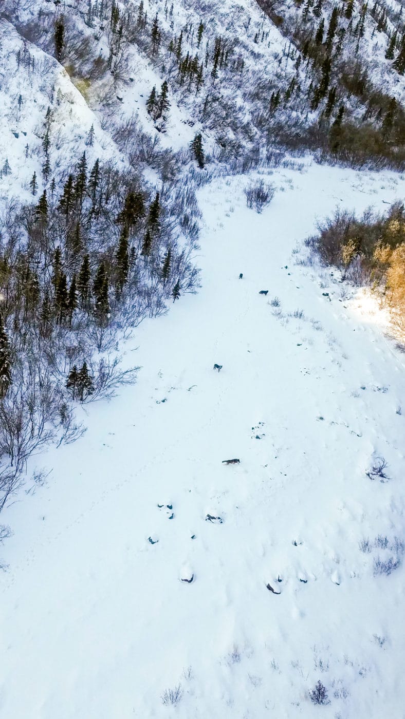
Aerial surveys are used to determine population estimates for species, such as wolves, that have large home ranges and are difficult to assess from the ground. Aerial surveys are conducted in the late winter when there is adequate snow cover, and the best results are from surveys flown immediately after a snowfall large enough to cover up existing tracks. Surveys also need to be scheduled prior to snow becoming too compact for tracks to be visible. During an aerial survey, a pilot and an observer fly transects in habitats above the tree line and look for fresh wolf tracks. Upon discovery of wolf tracks, survey crews follow the tracks until the wolf or wolves are located. Wolves are then counted and the survey crew resumes searching for additional tracks. The goal of these surveys is to help determine the population structure of wolves in Game Management Unit 11 (GMU 11). Survey attempts will be made annually to determine population stability of the wolves.
In addition to aerial surveys, tracking collars equipped with Global Positioning Systems (GPS) have been used in other areas of Alaska to help offset the costs of flight time required to locate wolves and help determine pack territories. The Ahtna Land Department is currently collaborating with Wrangell-St. Elias National Park to secure 12 GPS collars for the wolves in GMU 11. Each pack located would receive 2 GPS collars; one collar would be fitted to an alpha male or female while the other collar would be reserved for the non-breeding wolves. There is little knowledge of the wolves and their pack sizes within GMU 11. This project would help Ahtna and the National Park Service increase the efficiency of winter aerial surveys and determine wolf populations with more accuracy, including the number of wolf packs and pack territories.
In addition to the wildlife and forestry projects conducted on Ahtna land, hunting cabins and trails are being constructed to encourage and assist shareholders with harvesting animals on traditional lands. The ultimate goals of the Land Department projects revolve around the health of the wildlife and forests on Ahtna land and management of the land for subsistence and recreational use by Ahtna shareholders.
Work for the Ahtna Land Department:
Interested in working on Ahtna’s lands for the Land Department?
We have seasonal positions.
Do you need to do some field work for your degree?
We have internships.
Stay tuned for more information on openings for the 2021 summer season which starts in mid-April.
